Allt Rhongyr & Craig y Rhiwarth Phase 1 habitat survey
Allt Rhongyr and Craig y Rhiwarth are two adjacent Wildlife Trust of South and West Wales in the Brecon Beacons. The focus of this project was to update the NRW Terrestrial Phase 1 Habitat Survey data for the two sites, which was considered old and captured at low resolution.
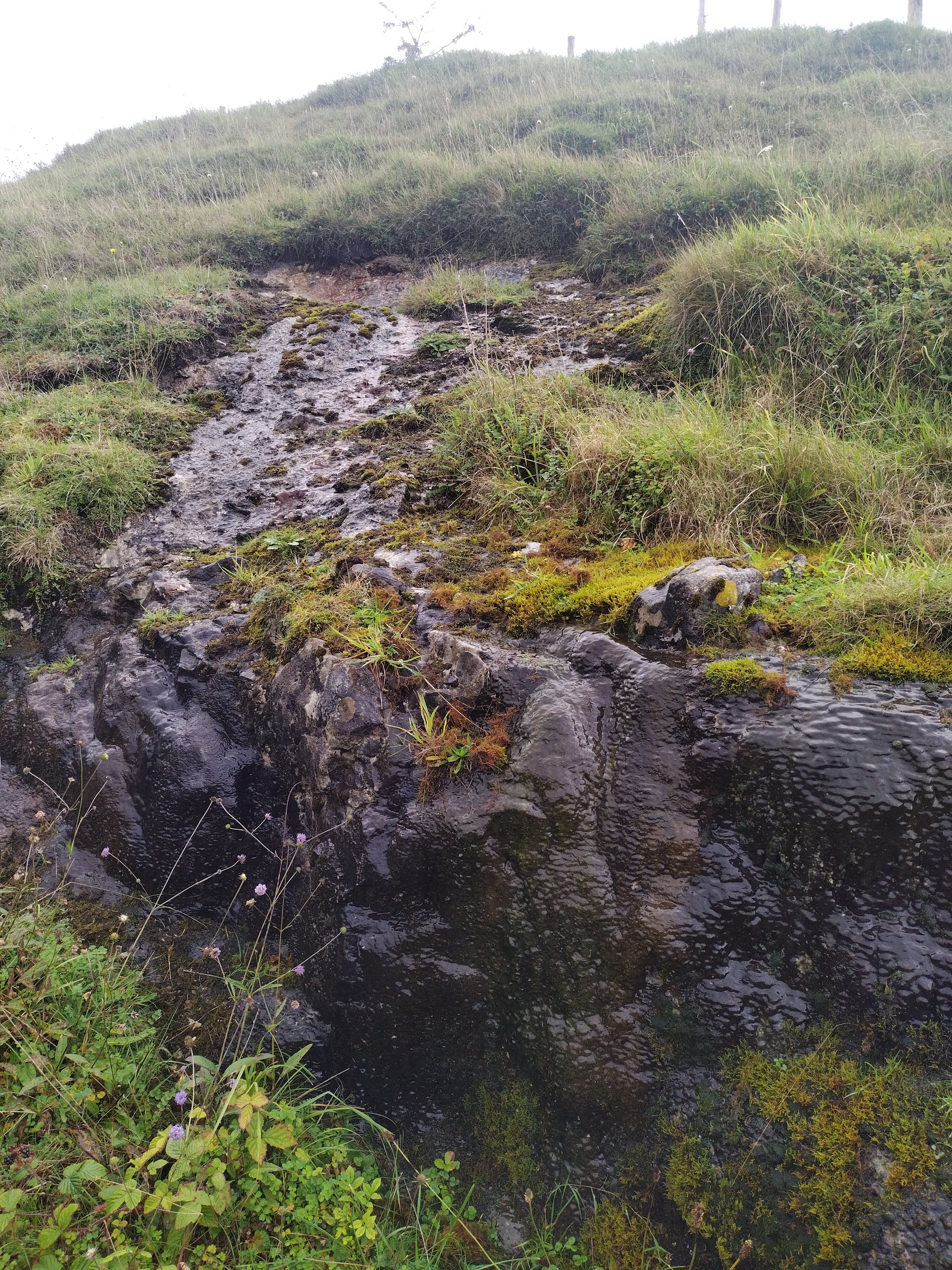
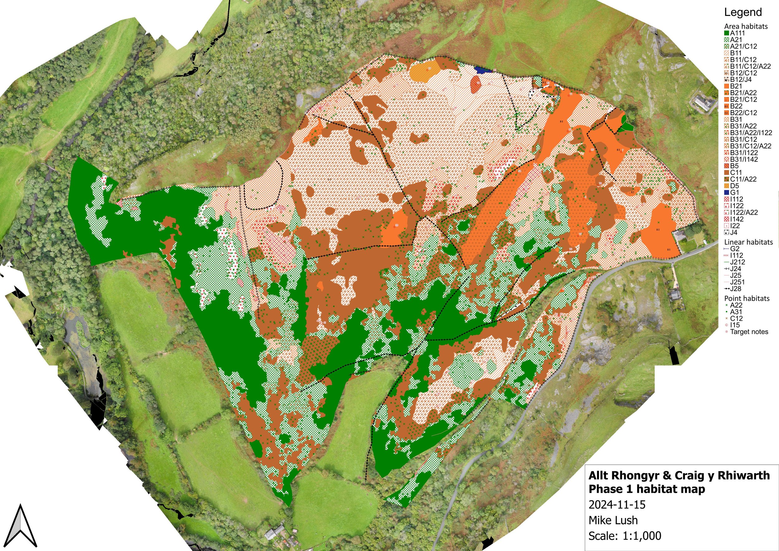
High resolution aerial photography was commissioned for the sites, which was used to provisionally map and classify Phase 1 habitat stands. The sites were then surveyed, prioritising those stands where there was most uncertainty from the aerial photography interpretation. The result was a highly accurate Phase 1 map covering area, linear and point features, with detailed target notes on species composition and linked photographs showing representative vegetation structure.
The work also involved:
Establishment of a fixed-point photograph baseline to support future monitoring.
Documentation of historic habitat and land use, based on historic maps and aerial imagery.
An assessment of the potential impact of ash dieback.
Due to its success, we were invited to present the methodology and results of this project to the Brecknock Botany Group, who then targeted the area for a BSBI field visit in 2024.
The report and A0 Phase 1 map are available from ResearchGate.