Bridging Ecology and Geospatial Intelligence
Biodiversity data is inherently spatial, whether it is habitat polygons or species record locations. BioSpatial Insights specialises in ecological survey and spatial data analysis. We work at the intersection of ecology and GIS to further the conservation of vital habitats and species.
Our Services
-

Habitat Survey
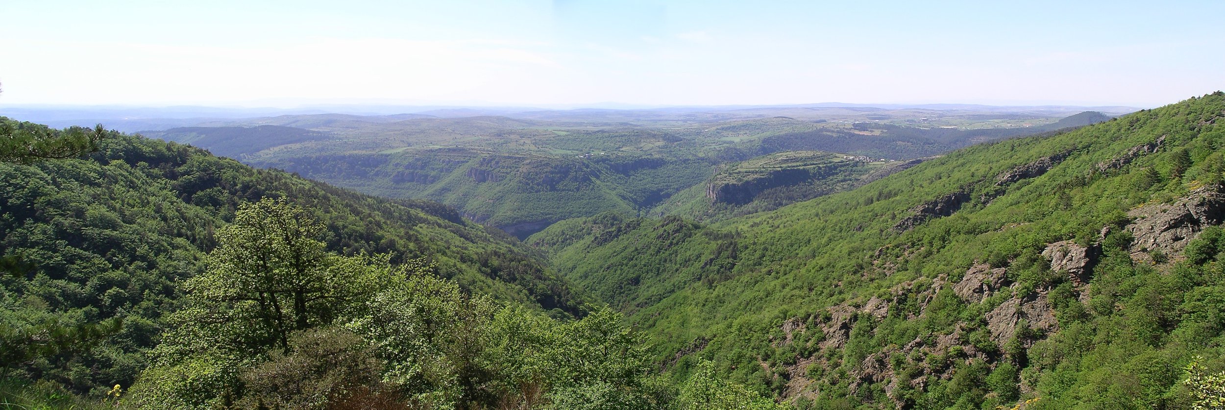
We specialise in habitat survey using standard UK methodologies, including Phase 1, UKHab, and NVC. With expertise in survey design and phytosociology, we can deliver detailed assessments of plant communities and habitats. Our mobile data collection integrates seamlessly with desk-based tools, ensuring efficient workflows and resulting in high precision survey data.
-

Biodiversity Data Analysis
Our expertise in biodiversity data analysis combines a deep understanding of ecological data and taxonomy with advanced data processing and analysis techniques. We specialise in GIS technologies to perform complex geospatial analyses. We leverage statistical tools to uncover patterns and insights, delivering robust, data-driven knowledge to support ecological research, conservation, and decision-making.
-
Ecological Data Capture
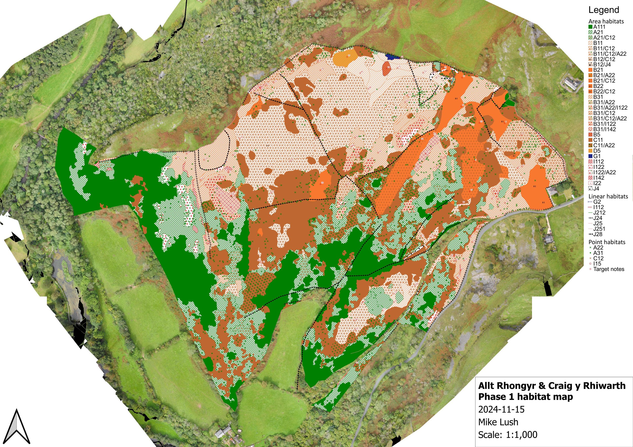
We accurately capture both spatial and non-spatial ecological data, utilising GIS to ensure seamless integration of field data with desk-based systems. We combine expertise in aerial photograph interpretation with efficient digitisation techniques. Our services also include the creation of clear maps and charts that effectively communicate complex ecological information.
-

Entomological Survey
We provide comprehensive entomological surveys, using standardised methodologies and good field craft. Our services include detailed assessments of invertebrate assemblages and tailored site assessments to evaluate ecological value. By collaborating with a network of expert specialists, we ensure efficient and accurate identification, delivering high-quality data to inform conservation and management decisions.